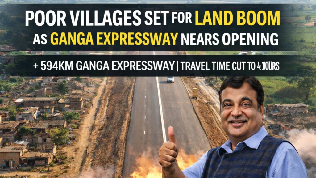
The 594Km Ganga Expressway is being seen as a once-in-a-generation turning point for poor villages because big expressways don’t just reduce travel time—they change the value of land around them. When an access-controlled corridor gets close to opening, the market starts moving fast: farmers hear about interchanges, service roads, new exits, and suddenly the same fields that were “only farming land” start getting quoted as future commercial plots. The travel time cut to around 6 hours adds another layer, because faster movement makes business, logistics, and real estate interest rise sharply along the route.
Design and Build Quality
Ganga Expressway is planned as a high-speed access-controlled corridor built to handle heavy traffic and long-distance movement. Wide lanes, strong pavement quality, and bridge structures are designed for years of use with less breakdown risk. The expressway includes major interchanges, underpasses, and service road planning in many belts, which is exactly what creates “hot zones” around exits. For villages, this design matters because development doesn’t spread evenly—areas near junction points grow faster than interior areas.
Route, Travel Time and Connectivity
With a total length of 594Km, the expressway is expected to connect major regions of Uttar Pradesh and dramatically reduce travel time between key cities. A travel time drop to around 6 hours means faster movement for passenger travel and even more importantly, for goods transport. For farmers, faster connectivity increases access to bigger mandis and markets, while for businesses it creates a reason to build warehouses and logistics points near the corridor. The moment this connectivity becomes reliable, land value starts reacting before the first toll gate even gets crowded.
How Land Prices Typically Rise Near an Expressway
Land boom usually happens in stages, and the “near opening” phase is the most explosive because risk feels lower. First, rates jump around marked exits. Second, prices climb near service roads because that’s where commercial entry becomes practical. Third, the biggest rise happens when actual traffic starts and business owners see real footfall potential. Villages within 1–3Km of interchange points often see the fastest appreciation, while interior farmland rises slower unless it gets a direct approach road link.
Jobs, Business Growth and Village Economy Shift
The expressway creates both temporary and long-term effects. Construction brings local work, and once operations begin, the roadside economy expands—fuel stations, dhabas, truck parking, repair points, cold storage, and small logistics hubs. For poor villages, this can mean new income streams beyond crops, because landowners can lease plots, open small shops, or rent space for storage. Youth also get more local job options, which can reduce migration pressure over time.
Smart Planning for Farmers and Land Owners
The biggest relief comes when villagers plan calmly instead of rushing. The safest approach is to keep land papers clean, avoid fast “cash offers,” and track which areas are closest to service roads and exits. In many expressway corridors, leasing land near junction zones can generate long-term monthly income instead of one-time sale money. If the 594Km Ganga Expressway opens with strong traffic flow and stable connectivity, then the land boom story for poor villages becomes real—especially for those sitting closest to the points where the expressway actually touches daily life.